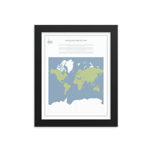
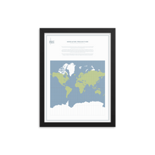
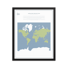
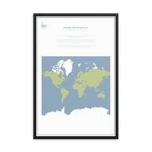
An original Map Men framed map, featuring the controversial global globe projection of choice by Gerard Mercator. Will look wonderful on that big *BLANK* wall of yours.
The text on the map reads as follows:
The Flem, Gerard Mercator, first published this map projection in 1569. Of course, his continental outlines were decidedly dodgier than these, because the New World in particular was still being 'discovered' by Europeans. But whilst his map has since been updated, his projection lives on as a firm global favourite.
To understand how it works, imagine the globe being stretched to create a cylinder, one whose diameter is the same as the equator (so the world has effectively got taller, but not thinner). This cylinder could then be unravelled to create a flat map - the Mercator Projection. The problem, inevitably, comes in the stretched bits; whilst land areas are true at the equator, they become exponentially distortedly larger the closer you get to the poles - which, incidentally, can never even appear on a mercator map. This results in an oversized Greenland, Antarctica and Russia.
Whilst many have decried its European enlargening and relative African/central Asian smallening, the projection's lasting success lied in its utility as a navigational tool. What Mercator had created was the first flat map where a straight line on the map actually correlated to a straight line in real life. Helpful, if you were a sailor. Unhelpful, if you were trying to reach the North Pole.
Make a statement in any room with this framed poster, printed on thick, durable, matte paper. The matte black frame that's made from wood from renewable forests adds an extra touch of class.• Paper thickness: 10.3 mil
• Paper weight: 5.57 oz/y² (189 g/m²)
• Alder, semi-hardwood frame
• Black .75” thick frame
• Acrylite front protector
• Lightweight
• Hanging hardware included


